COLLECTION NAME:
Yale University Maps
Record
Published/Created Date:
1941
Publication Place:
[Berlin] :
Publisher:
Generalstab des Heeres, Abteilung für Kriegskarten und Vermessungswesen (Mil. Geo.),
Extent:
1 map :
Extent of Digitization:
Complete work digitized.
Call Number:
32 B32 1941
Format:
cartographic
Access:
Public
Rights:
The use of this image may be subject to the copyright law of the United States (Title 17, United States Code) or to site license or other rights management terms and conditions. The person using the image is liable for any infringement
Orbis ID:
6079277
OID:
15259797
Image OID:
15274844
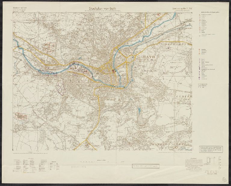
Title:
Stadtplan von Bath.
Attribution:
Yale University Library
Creator:
Germany. Heer. Abteilung für Kriegskarten- und Vermessungswesen
Language:
German
Genre:
Maps
Resource Type:
Maps, Atlases & Globes
Container / Volume Information:
BRBL_00046
Alternative Title:
England 1:10 000
Description:
Relief shown by contours and spot heights.
Subject (Geographic):
Bath (England)--Maps
Scale:
Scale 1:10 000.
Coordinates:
10000
Edition:
Sonderausgabe.
Image Label:
recto
Link To Source