COLLECTION NAME:
Yale University Maps
Record
Published/Created Date:
[1867?].
Publication Place:
Glogau :
Publisher:
Flemming,
Extent:
2 maps ;
Extent of Digitization:
Complete work digitized.
Call Number:
304 1867
Format:
cartographic
Access:
Public
Rights:
The use of this image may be subject to the copyright law of the United States (Title 17, United States Code) or to site license or other rights management terms and conditions. The person using the image is liable for any infringement
Orbis ID:
8424543
OID:
15249311
Image OID:
15252254
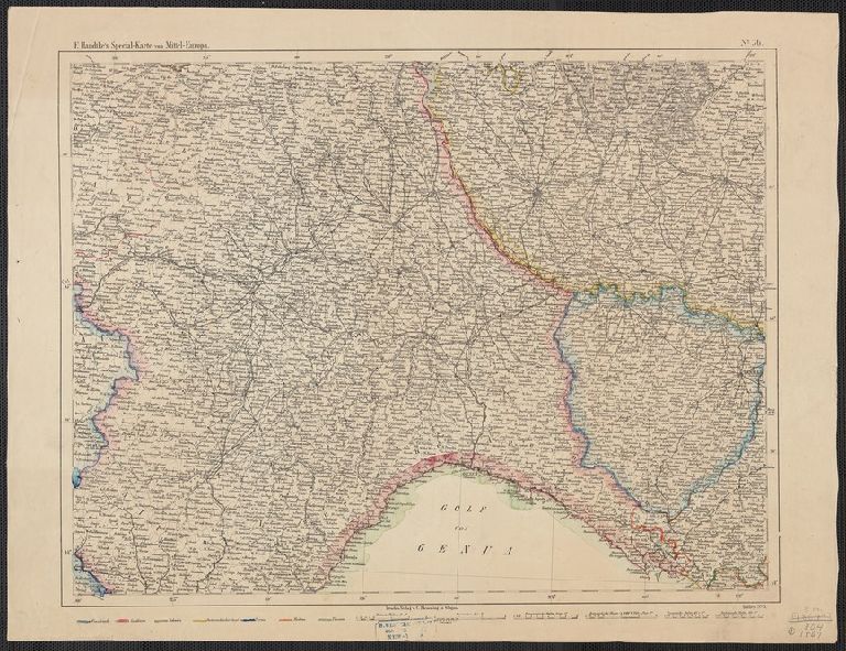
Title:
F. Handtke's Special-Karte von Mittel-Europa / F. Handtke.
Attribution:
Yale University Library
Creator:
Handtke, F. (Friedrich), 1815-1879
Language:
German
Genre:
Maps
Resource Type:
Maps, Atlases & Globes
Container / Volume Information:
BRBL_00033
Description:
304 1867: Hand col.
Subject (Geographic):
Europe, Central--Maps
Scale:
Scale [ca. 1:600,000].
Coordinates:
600000
Image Label:
recto
Link To Source