COLLECTION NAME:
Yale University Maps
Record
Published/Created Date:
[approximately 1700?]
Publication Place:
[Amsterdam] :
Publisher:
[Jan Jansson],
Extent:
1 map ; 38 x 56 cm
Extent of Digitization:
Complete work digitized.
Call Number:
BrSides Double Folio 2019 68
Format:
cartographic
Access:
Public
Rights:
The use of this image may be subject to the copyright law of the United States (Title 17, United States Code) or to site license or other rights management terms and conditions. The person using the image is liable for any infringement.
Orbis ID:
3326754
OID:
16691748
Image OID:
16692245
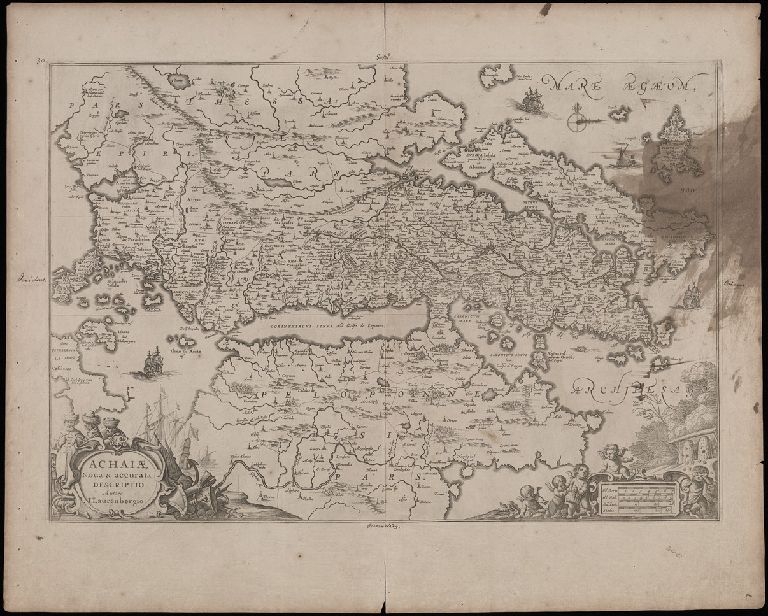
Title:
Achaiae nova & accurata descriptio / autore I. Laurenbergio.
Attribution:
Yale University Library
Creator:
Lauremberg, Johann, 1590-1658
Language:
Latin
Genre:
Maps
Resource Type:
Maps, Atlases & Globes
Alternative Title:
Achaiae noua & accurata descriptio
Description:
Coordinates not present on map and are approximated.
Subject (Geographic):
Achaia (Greece)--Maps--Early works to 1800.
Subject (Name):
Jansson, Jan, 1588-1664
Copyright Date:
[approximately 1700?]
Scale:
Scale approximately 1:1,000,000
Coordinates:
(E 20°15ʹ00ʺ--E 25°00ʹ00ʺ/N 39°30ʹ00ʺ--N 37°00ʹ00ʺ).
Citation:
Koeman's Atlantes Neerlandici, I, 7835:1
Link To Source