COLLECTION NAME:
Yale University Maps
Record
Published/Created Date:
between 1700 and 1722?]
Publication Place:
[England? :
Publisher:
s.n.,
Extent:
1 map : hand col. ; 36 x 48 cm.
Extent of Digitization:
Complete work digitized.
Call Number:
71 1722 A
Format:
cartographic
Access:
Public
Rights:
The use of this image may be subject to the copyright law of the United States (Title 17, United States Code) or to site license or other rights management terms and conditions. The person using the image is liable for any infringement
Orbis ID:
6139358
OID:
15534625
Image OID:
15535175
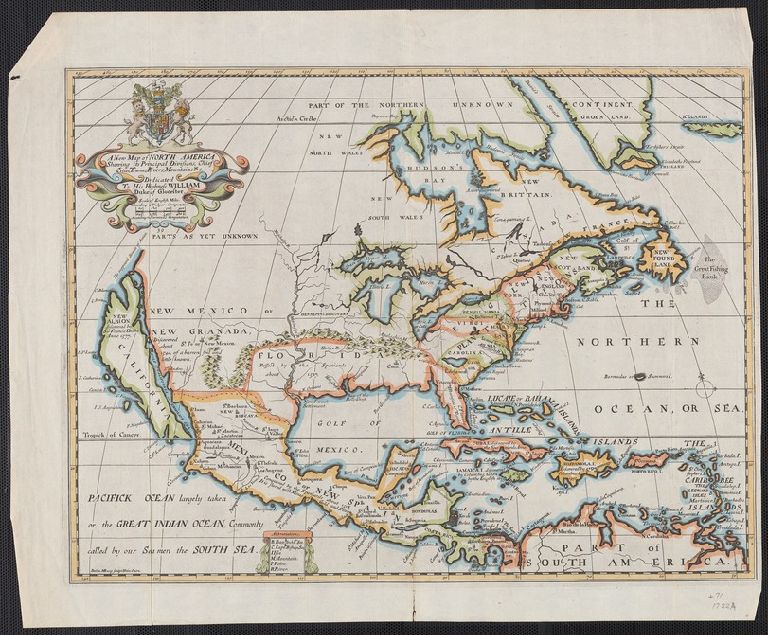
Title:
A new map of North America shewing its principal divisions, chief cities, townes, rivers, mountains &c. / delin. M. Burg. ; sculpt. Univ. Oxon.
Attribution:
Yale University Library
Creator:
Wells, Edward, 1667-1727
Language:
English
Genre:
California as an island--1700
Resource Type:
Maps, Atlases & Globes
Container / Volume Information:
BRBL_00362
Description:
"Dedicated to His Highness William Duke of Glocester."
Subject (Geographic):
Caribbean Area--Maps--Early works to 1800
Subject (Name):
Burghers, M
Scale:
Scale [ca. 1:21,000,000]
Coordinates:
(W 126⁰--W 15⁰/N 70⁰--N 5⁰).
Citation:
McLaughlin, G. Mapping California as an island, 142
Image Label:
recto
Link To Source