COLLECTION NAME:
Yale University Maps
Record
Published/Created Date:
[1849?]
Publication Place:
Magdeburg :
Publisher:
Rubachschen,
Extent:
1 map on 3 sheets ; sheets 46 x 38 cm.
Extent of Digitization:
Complete work digitized.
Call Number:
56 1849
Format:
cartographic
Access:
Public
Rights:
The use of this image may be subject to the copyright law of the United States (Title 17, United States Code) or to site license or other rights management terms and conditions. The person using the image is liable for any infringement
Orbis ID:
8246216
OID:
15510588
Image OID:
15510723
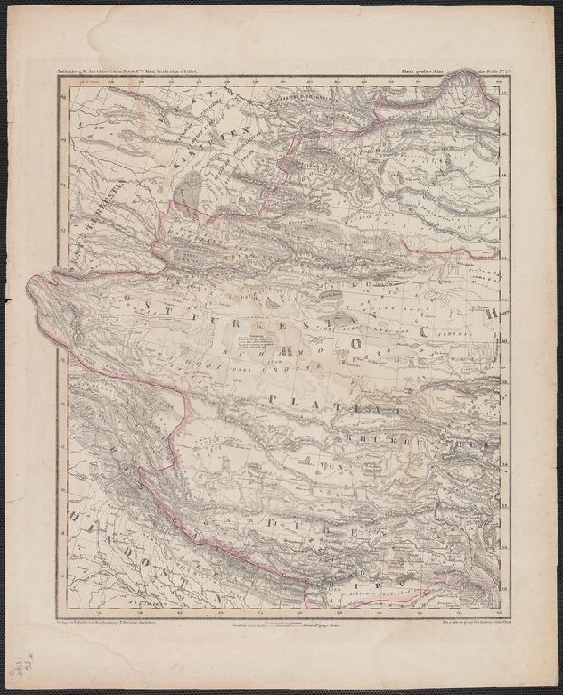
Title:
Das Chinesische Reich ... Lith u. gedr. im geogr. lith. Institut v. Albr. Platt.
Attribution:
Yale University Library
Language:
German
Genre:
Maps
Resource Type:
Maps, Atlases & Globes
Container / Volume Information:
BRBL_00295
Description:
Platt's grosser Atlas der Erde No. 52, 53, 54.
Subject (Geographic):
China--Maps
Scale:
Scale [ca. 1:7,000,000].
Coordinates:
7000000
Image Label:
recto
Link To Source