COLLECTION NAME:
Yale University Maps
Record
Published/Created Date:
[1897]
Publication Place:
[Washington, D.C.] :
Publisher:
USGS,
Extent:
1 map : col. ; 43 x 70 cm.
Extent of Digitization:
Complete work digitized.
Call Number:
75BF 1897
Format:
cartographic
Access:
Public
Rights:
The use of this image may be subject to the copyright law of the United States (Title 17, United States Code) or to site license or other rights management terms and conditions. The person using the image is liable for any infringement
Orbis ID:
9425450
OID:
15603692
Image OID:
15636485
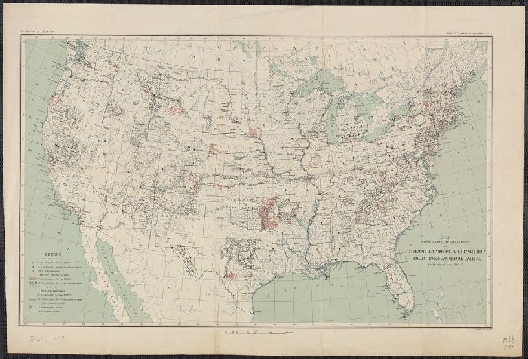
Title:
Map showing condition and progress of astronomic location, primary triangulation, primary traverse and precise leveling, for the fiscal year 1896-7.
Attribution:
Yale University Library
Creator:
Geological Survey (U.S.)
Language:
English
Genre:
Maps
Resource Type:
Maps, Atlases & Globes
Container / Volume Information:
BRBL_00407A
Alternative Title:
Annual report ; eighteenth
Subject (Geographic):
United States--Surveys--Maps
Scale:
Scale [ca. 1:7,000,000].
Coordinates:
7000000
Image Label:
recto
Link To Source