COLLECTION NAME:
Yale University Maps
Record
Published/Created Date:
[1803?]
Extent:
1 map ; 39 x 58 cm.
Extent of Digitization:
Complete work digitized.
Call Number:
765 P94 1803
Format:
cartographic
Access:
Public
Rights:
The use of this image may be subject to the copyright law of the United States (Title 17, United States Code) or to site license or other rights management terms and conditions. The person using the image is liable for any infringement
Orbis ID:
8253668
OID:
15654700
Image OID:
15674607
Title:
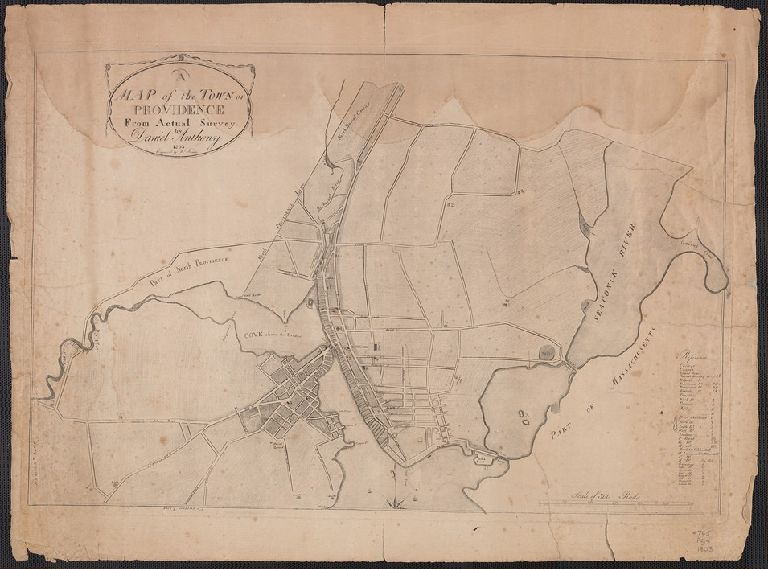
A map of the Town of Providence, from Actual Survey, by Daniel Anthony 1803.
Attribution:
Yale University Library
Language:
English
Genre:
Maps
Resource Type:
Maps, Atlases & Globes
Container / Volume Information:
BRBL_00464
Description:
Engraved by Wm. Hamlin
Subject (Geographic):
Providence (R.I.)--Maps
Scale:
Scale [ca. 1:12,000].
Coordinates:
12000
Image Label:
recto
Link To Source
A map of the Town of Providence, from Actual Survey, by Daniel Anthony 1803.