COLLECTION NAME:
Yale University Maps
Record
Published/Created Date:
19--?]
Publication Place:
[United States? :
Publisher:
s.n.,
Extent:
1 map on 6 sheets : photocopy ; sheets 75 x 56 cm. or smaller.
Extent of Digitization:
Complete work digitized.
Call Number:
80gmd 1878
Format:
cartographic
Access:
Public
Rights:
The use of this image may be subject to the copyright law of the United States (Title 17, United States Code) or to site license or other rights management terms and conditions. The person using the image is liable for any infringement
Orbis ID:
4937748
OID:
15813004
Image OID:
15815687
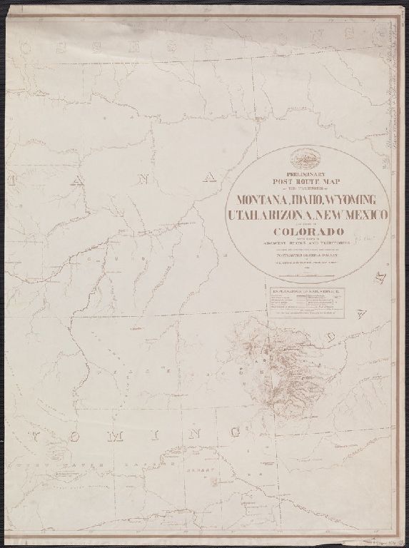
Title:
Preliminary post route map of the territories of Montana, Idaho, Wyoming, Utah, Arizona, New Mexico and state of Colorado, with parts of adjacent states and territories / designed and constructed under the orders of D.M. Key by W.L. Nicholson of P.O. Dept
Attribution:
Yale University Library
Creator:
Nicholson, W. L
Language:
English
Genre:
Maps
Resource Type:
Maps, Atlases & Globes
Subject (Topic):
Postal service--West (U.S.)--Maps
Container / Volume Information:
BRBL_00538
Description:
"Drawn by A.F. Dinsmore."
Subject (Geographic):
West (U.S.)--Maps
Subject (Name):
Dinsmore, A. F
Scale:
Scale [1:1,267,200]. 1 in. to 20 miles.
Coordinates:
1267200
Image Label:
Sheet 1
Link To Source