COLLECTION NAME:
Yale University Maps
Record
Published/Created Date:
1795
Publication Place:
New York :
Publisher:
John Reid,
Extent:
1 map ; 37 x 44 cm.
Extent of Digitization:
Complete work digitized.
Call Number:
802 1795B
Format:
cartographic
Access:
Public
Rights:
The use of this image may be subject to the copyright law of the United States (Title 17, United States Code) or to site license or other rights management terms and conditions. The person using the image is liable for any infringement
Orbis ID:
8225055
OID:
15814325
Image OID:
15816435
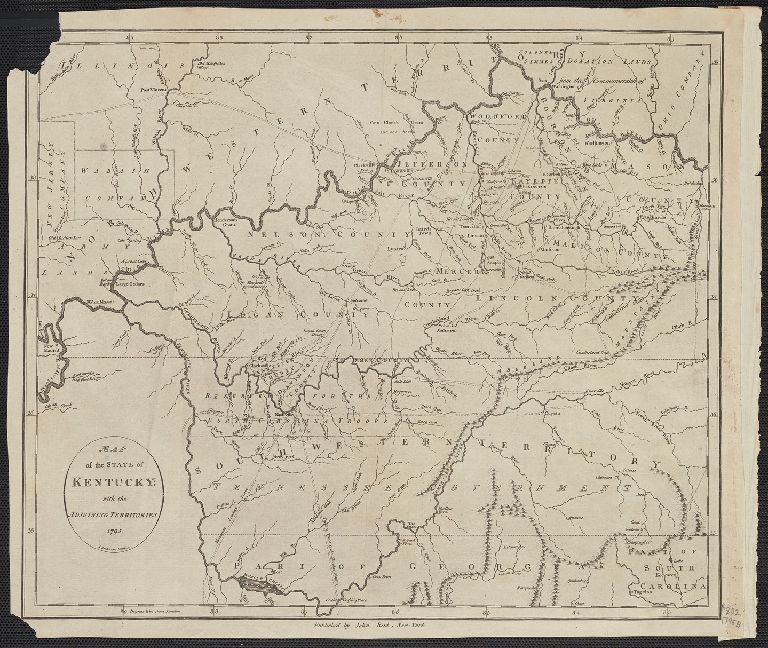
Title:
Map of the State of Kentucky; with the Adjointing Territories.
Attribution:
Yale University Library
Language:
English
Genre:
Maps
Resource Type:
Maps, Atlases & Globes
Container / Volume Information:
BRBL_00542
Description:
A. Anderson sculp.
Subject (Geographic):
Kentucky--Maps--Early works to 1800
Scale:
Scale [ca. 1:1,500,000].
Coordinates:
1500000
Image Label:
recto
Link To Source
Map of the State of Kentucky; with the Adjointing Territories.