COLLECTION NAME:
Yale University Maps
Record
Published/Created Date:
1900
Publication Place:
[Neb.? :
Publisher:
State Engineer's Office?],
Extent:
1 map : col. ; 63 x 112 cm.
Extent of Digitization:
Complete work digitized.
Call Number:
824gce R299 1900
Format:
cartographic
Access:
Public
Rights:
The use of this image may be subject to the copyright law of the United States (Title 17, United States Code) or to site license or other rights management terms and conditions. The person using the image is liable for any infringement
Orbis ID:
6027265
OID:
15814800
Image OID:
15817254
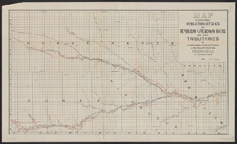
Title:
Map showing irrigation ditches on Republican and Frenchman rivers and their tributaries in Chase, Dundy, Hayes, Hitchcock & Red Willow counties, Nebraska / State Engineer's Office ; A.B. McCoskey.
Attribution:
Yale University Library
Creator:
Nebraska. State Engineer
Language:
English
Genre:
Maps
Resource Type:
Maps, Atlases & Globes
Subject (Topic):
Irrigation--Nebraska--Maps
Container / Volume Information:
BRBL_00572
Description:
Also shows railroads and proposed and completed canals.
Subject (Geographic):
Republican River Valley (Neb. and Kan.)--Maps
Subject (Name):
McCoskey, A. B
Scale:
Scale [1:126,720]. 1 in. = 2 miles.
Coordinates:
126720
Image Label:
recto
Link To Source