COLLECTION NAME:
Yale University Maps
Record
Published/Created Date:
[1928].
Publication Place:
Lima :
Publisher:
Servicio Geografico del Ejercito,
Extent:
1 map : col. ; 60 x 44 cm.
Extent of Digitization:
Complete work digitized.
Call Number:
97 1928A
Format:
cartographic
Access:
Public
Rights:
The use of this image may be subject to the copyright law of the United States (Title 17, United States Code) or to site license or other rights management terms and conditions. The person using the image is liable for any infringement
Orbis ID:
9917543
OID:
15821203
Image OID:
15823875
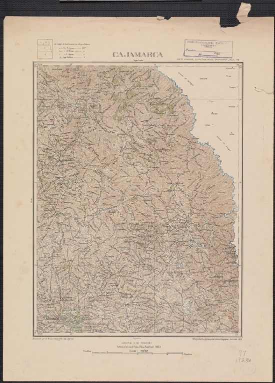
Title:
Cajamarca
Attribution:
Yale University Library
Language:
Spanish; Castilian
Genre:
Maps
Resource Type:
Maps, Atlases & Globes
Container / Volume Information:
BRBL_00678
Alternative Title:
Carta Nacional _Departamento de Cajamarca ; Hoja. 5e.
Description:
"Heliograbado é impreso por el Servicio Geografico Chorrillos 1928" outside neat line bottom right.
Subject (Geographic):
Cajamarca (Peru)--Maps
Scale:
Scale [ca. 1:200,000].
Coordinates:
200000
Image Label:
recto
Link To Source
Cajamarca