COLLECTION NAME:
Yale University Maps
Record
Published/Created Date:
1864
Publication Place:
San Francisco :
Publisher:
A. Gensoul,
Extent:
1 map : hand col., mounted on linen ; 66 x 119 cm.
Extent of Digitization:
Complete work digitized.
Call Number:
844gfc C128 1864
Format:
cartographic
Access:
Public
Rights:
The use of this image may be subject to the copyright law of the United States (Title 17, United States Code) or to site license or other rights management terms and conditions. The person using the image is liable for any infringement
Orbis ID:
5968854
OID:
15821489
Image OID:
15822551
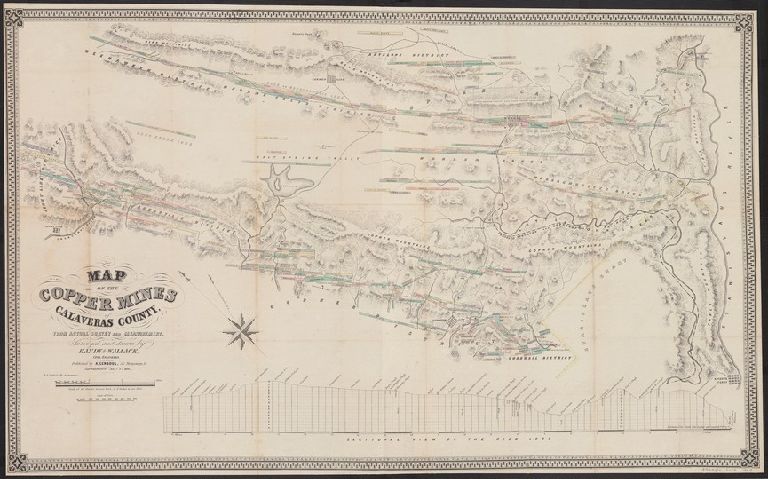
Title:
Map of the copper mines of Calaveras County : from actual survey and measurement / surveyed and drawn by Handy and Wallace, civil engineers.
Attribution:
Yale University Library
Creator:
Handy and Wallace
Language:
English
Genre:
Maps
Resource Type:
Maps, Atlases & Globes
Subject (Topic):
Copper mines and mining--California--Calaveras County--Maps
Container / Volume Information:
BRBL_00615
Description:
Includes "Sectional view of the Reed Lode."
Subject (Name):
Butler, B. F
Scale:
Scale [1:31,680]. 40 chains to 1 in. or 2 in. to 1 mile
Coordinates:
31680
Image Label:
recto
Link To Source