COLLECTION NAME:
Yale University Maps
Record
Published/Created Date:
1899
Publication Place:
United States :
Publisher:
s.n.,
Extent:
1 map ; 57 x 65 cm.
Extent of Digitization:
Complete work digitized.
Call Number:
856cea Sa58 1899
Format:
cartographic
Access:
Public
Rights:
The use of this image may be subject to the copyright law of the United States (Title 17, United States Code) or to site license or other rights management terms and conditions. The person using the image is liable for any infringement
Orbis ID:
9805080
OID:
15821952
Image OID:
15822123
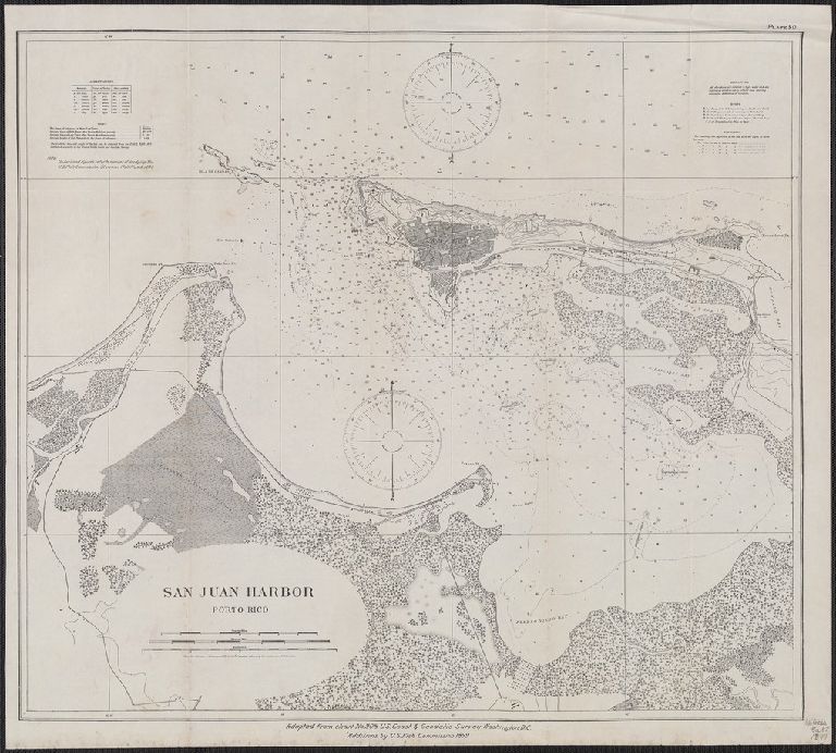
Title:
San Juan Harbor, Porto Rico
Attribution:
Yale University Library
Language:
English
Genre:
Maps
Resource Type:
Maps, Atlases & Globes
Container / Volume Information:
BRBL_00643
Description:
"Adapted from chart No.908 U.S. Coast & Geodetic Survey, Washington, D.C., Additions by U.S Fish Co
Subject (Geographic):
San Juan (P.R.)--Maps
Scale:
Scale [ca. 1:12,500].
Coordinates:
12500
Image Label:
recto
Link To Source