COLLECTION NAME:
Yale University Maps
Record
Published/Created Date:
[1795?]
Extent:
1 map ;
Extent of Digitization:
Complete work digitized.
Call Number:
11 1795A
Format:
cartographic
Access:
Public
Rights:
The use of this image may be subject to the copyright law of the United States (Title 17, United States Code) or to site license or other rights management terms and conditions. The person using the image is liable for any infringement
Orbis ID:
8321030
OID:
15234592
Image OID:
15242199
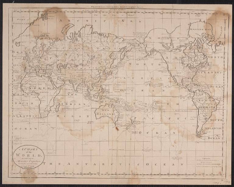
Title:
A Chart of the World, According to Mercator's Projection, showing the latest discoveries of Capt. Cook.
Attribution:
Yale University Library
Language:
English
Genre:
Maps
Resource Type:
Maps, Atlases & Globes
Container / Volume Information:
BRBL_00006
Description:
2 copies.
Subject (Geographic):
World--Maps--Early works to 1800
Scale:
Scale not given.
Coordinates:
a
Image Label:
Copy 1, recto
Link To Source