COLLECTION NAME:
Yale University Maps
Record
Published/Created Date:
1896
Publication Place:
Chicago :
Publisher:
Rand McNally & Co. ,
Extent:
1 map ; 48 x 66 cm.
Extent of Digitization:
Complete work digitized.
Call Number:
774 1896
Format:
cartographic
Access:
Public
Rights:
The use of this image may be subject to the copyright law of the United States (Title 17, United States Code) or to site license or other rights management terms and conditions. The person using the image is liable for any infringement
Orbis ID:
9456686
OID:
15827669
Image OID:
15829558
Title:
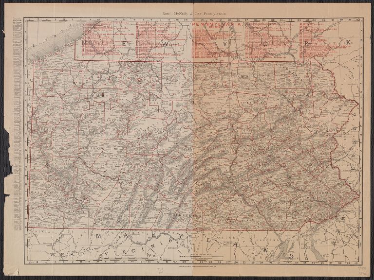
Rand McNally & Co's Pennsylvania.
Attribution:
Yale University Library
Language:
English
Genre:
Maps
Resource Type:
Maps, Atlases & Globes
Container / Volume Information:
BRBL_00498
Description:
Lists and indexes the railroads across top.
Subject (Geographic):
Pennsylvania--Maps
Scale:
Scale [ca. 1:760,000].
Coordinates:
760000
Image Label:
recto
Link To Source