COLLECTION NAME:
Yale University Maps
Record
Published/Created Date:
1902
Publication Place:
Toronto :
Publisher:
City Engineer's Office,
Extent:
1 map : col. ; 45 x 89 cm.
Extent of Digitization:
Complete work digitized.
Call Number:
735 T634 1902
Format:
cartographic
Access:
Public
Rights:
The use of this image may be subject to the copyright law of the United States (Title 17, United States Code) or to site license or other rights management terms and conditions. The person using the image is liable for any infringement
Orbis ID:
10583110
OID:
15827326
Image OID:
15829049
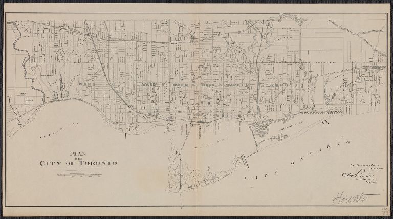
Title:
Plan of the city of Toronto.
Attribution:
Yale University Library
Creator:
Toronto (Ont.). Engineer's Office
Language:
English
Genre:
Maps
Resource Type:
Maps, Atlases & Globes
Container / Volume Information:
BRBL_00382
Description:
"Feb: 1902."
Subject (Geographic):
Toronto (Ont.)--Maps
Scale:
Scale [ca. 1:2 0,000].
Coordinates:
20000
Image Label:
recto
Link To Source