COLLECTION NAME:
Yale University Maps
Record
Extent:
1 map
Call Number:
1973 Folio 67
Collection Title:
The West-India pilot: containing piloting directions for Port Royal and Kingston harbours in Jamaica, in and out through the kays, &c. ... the true courses and distances through the windward passages ... courses, distances, and anchoring places from Jamaica to the Gulf of Florida ... : the whole illustrated with a number of maps and plans engraved by the best artists, describing the ports and bays above mentioned with the true soundings, laid down with the utmost exactness
Collection Created:
London : Printed for the author and sold by S. Hooper ..., MDCCLXXI [1771]
Format:
cartographic
Access:
Public
Rights:
The use of this image may be subject to the copyright law of the United States (Title 17, United States Code) or to site license or other rights management terms and conditions. The person using the image is liable for any infringement.
Orbis ID:
3460187
OID:
2046896
Image OID:
1213428
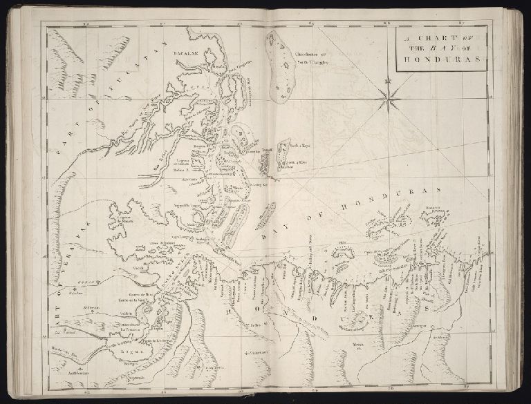
Title:
Chart of the Bay of Honduras
Attribution:
Yale University Library
Language:
English
Genre:
Engravings
Subject (Topic):
Harbors --Atlantic Coast (North America) --Maps --Early works to 1800
Subject (Geographic):
Atlantic Ocean --Maps --Early works to 1800
Image Label:
No. [12]
Link To Source