COLLECTION NAME:
Yale University Maps
Record
Published/Created Date:
1944?]
Publication Place:
[London? :
Publisher:
MI9,
Extent:
2 maps on 1 sheet : both sides, col., rayon ; 44 x 54 cm. and 33 x 56 cm., sheet 48 x 59 cm.
Extent of Digitization:
Complete work digitized.
Call Number:
625 1941
Format:
cartographic
Access:
Public
Rights:
The use of this image may be subject to the copyright law of the United States (Title 17, United States Code) or to site license or other rights management terms and conditions. The person using the image is liable for any infringement
Orbis ID:
6215768
OID:
15532734
Image OID:
15533826
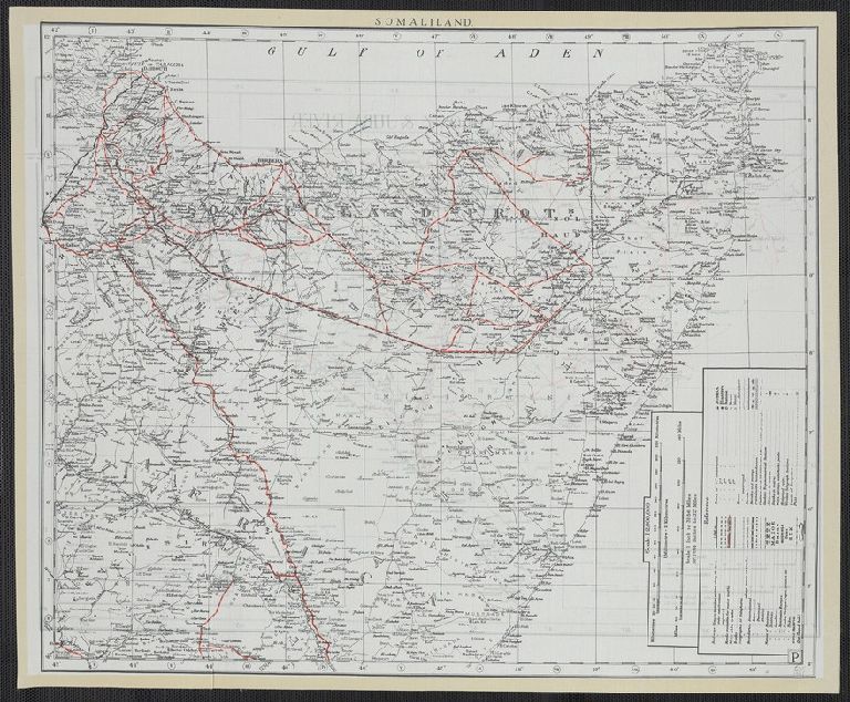
Title:
Somaliland ; Kenya Colony & Juba River.
Attribution:
Yale University Library
Creator:
Great Britain. MI9
Language:
English
Genre:
Maps
Resource Type:
Maps, Atlases & Globes
Subject (Topic):
Maps, Military
Container / Volume Information:
BRBL_00333
Alternative Title:
Kenya Colony & Juba River.
Description:
Cloth map.
Subject (Geographic):
Juba River Valley (Ethiopia and Somalia)--Maps
Scale:
Scale 1:2,000,000. 1 in. to 31.56 miles. 1.014 in. to 32 miles
Coordinates:
(E 37⁰--E 48⁰/N 4⁰--S 2⁰).
Image Label:
recto
Link To Source