COLLECTION NAME:
Yale University Maps
Record
Published/Created Date:
[1710?]
Extent:
1 map ; 35 x 33 cm.
Extent of Digitization:
Complete work digitized.
Call Number:
38 D74 1710
Format:
cartographic
Access:
Public
Rights:
The use of this image may be subject to the copyright law of the United States (Title 17, United States Code) or to site license or other rights management terms and conditions. The person using the image is liable for any infringement
Orbis ID:
8226609
OID:
15484360
Image OID:
15485391
Title:
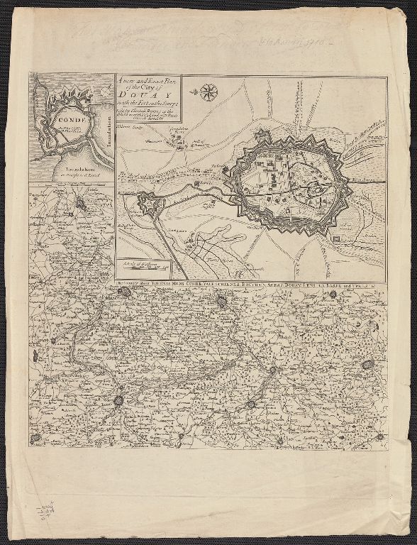
A new and exact plan of the City of Douay with the Fort on the Scarpe. J. Harris Sculp.
Attribution:
Yale University Library
Language:
English
Genre:
Maps
Resource Type:
Maps, Atlases & Globes
Container / Volume Information:
BRBL_00157
Description:
Insets: Conde, The Country about Ypres, Lille, Douay, Tournay, Mons, &c. 1:260,000.
Subject (Geographic):
Douai (France)--Maps--Early works to 1800
Scale:
Scale [ca. 1:25,000].
Coordinates:
25000
Image Label:
recto
Link To Source